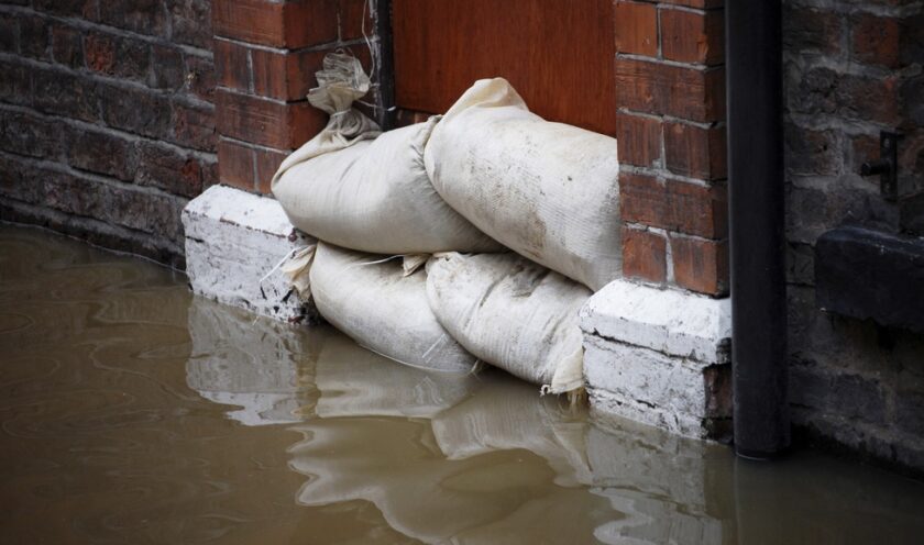
Welsh Government sets stricter planning rules for flood-prone areas

New planning rules have been published by the Welsh Government to help better protect homes and businesses across Wales from the growing risk of flooding and coastal erosion.
The revised Technical Advice Note 15 (TAN 15) lays out updated guidance for local authorities to ensure developments are planned with a greater understanding of flood risk, particularly in areas vulnerable to climate change impacts.
Rebecca Evans, Cabinet Secretary for Economy, Energy and Planning, said: “Recent storms have brought into sharp focus the devastating effect flooding can have on the lives and businesses of people across Wales. It can happen at any time of the year, and often without significant warning, resulting in serious consequences.”
The updated TAN 15 adopts a risk-based approach, requiring planners to assess potential impacts from rivers, surface water, and the sea using the Flood Map for Planning. It also introduces more restrictive conditions on development depending on the flood likelihood and the type of building proposed.
“In essence,” said Evans, “the higher the likelihood of flooding and the greater the vulnerability of development, the more restrictive the policy becomes.”
According to the guidance, around 162,000 properties in Wales already face at least a 1 in 100 chance of flooding each year, and the number is expected to rise due to climate change. The government now requires all new developments in flood risk areas to undergo rigorous Flood Consequences Assessments, and many highly vulnerable developments, such as new homes and hospitals, are now prohibited in areas at the highest risk unless exceptional criteria are met.
In Zone 3, which represents the highest flood risk, new residential developments on greenfield sites will not be permitted. Redevelopment in these areas will only be allowed in exceptional circumstances, such as projects essential to public health or national security, and only if flood mitigation measures are in place.
The guidance also highlights the need for developments to factor in climate projections for the next 75–100 years, ensuring flood resilience is built into long-term planning. Natural Resources Wales will maintain and update the Flood Map for Planning every six months, incorporating new modelling and data.
Local authorities are expected to align their Local Development Plans with the new guidelines, and work closely with Lead Local Flood Authorities and emergency services to ensure that flood risk does not compromise safety or infrastructure.
“We must plan not just for today’s risks, but for tomorrow’s,” Evans said, adding that the new TAN aims to support regeneration in communities that need to adapt to a changing climate while ensuring public safety remains paramount.
Spotted something? Got a story? Send a Facebook Message | A direct message on Twitter | Email: [email protected] Latest News


