Met Office updates warning for potential heavy snow and ice this weekend in Flintshire
Flintshire could experience severe winter weather this weekend, with the Met Office issuing an updated yellow warning for snow and ice.
The alert, which has been revised to include freezing rain alongside snow, is in effect from midday Saturday 4 January until 11:59 pm on Sunday 5 January.
Speaking about the updated forecast, a Met Office spokesperson said: “While there is some uncertainty in the details, significant snowfall and icy conditions could lead to widespread disruption. Residents should take precautions and monitor updates closely.”
The Met Office warns that heavy snow, freezing rain, and icy conditions could cause significant disruption across Flintshire.
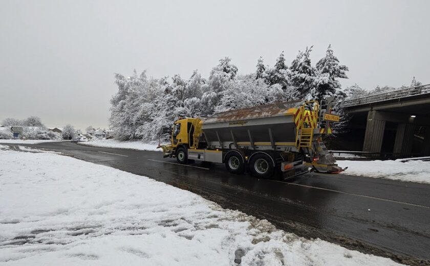
Rural areas may face temporary isolation, while transport networks, including roads and railways, are likely to be affected.
Snow Accumulations and Freezing Rain
Snowfall could reach up to 5 cm in some areas, with higher ground in North Wales potentially seeing as much as 30–40 cm.
Freezing rain is expected to create particularly hazardous conditions, especially as milder air moves through on Sunday.
Drifting snow caused by strong winds may add to the difficulties faced by local residents and emergency services.
The Met Office advises residents to prepare for the adverse weather. Motorists should check their routes, pack emergency supplies, and avoid unnecessary journeys. Pedestrians and cyclists are encouraged to use main roads and pavements where possible, as these are more likely to be treated.
Additionally, residents should prepare for possible power outages by gathering essentials such as torches, batteries, and mobile power packs.
Dan Holley, Deputy Chief Forecaster for the Met Office, provided further insight into the conditions: “An Atlantic frontal system is likely to move across parts of central and southern UK through the weekend. With milder, moisture-laden air engaging with the cold conditions already in place, this may bring a spell of snow in some areas, before possibly turning back to rain in the south.
“At this stage, there is a fair amount of uncertainty over exactly which areas will see disruptive snow, with parts of Wales, northern England, and the Midlands most likely to see some impacts. Here we could see 5 cm or more in many areas, and perhaps as much as 20–30 cm over high ground, including Wales and the Pennines. Coupled with strengthening winds, this could lead to drifting, making travelling conditions difficult over higher-level routes in particular.”
Risks for Residents
Forecasters have highlighted several risks:
- Travel Disruption: Delays and cancellations are expected on roads, railways, and air travel, with a risk of stranded vehicles and passengers.
- Power and Services: Power cuts are possible, alongside interruptions to mobile phone coverage.
- Safety Hazards: Icy conditions could lead to injuries from slips and falls, particularly on untreated surfaces.