Met Office says more of the same for August with wet and windy weather forecast
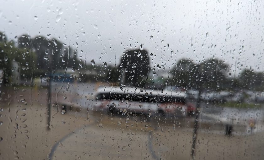
The UK is set to experience unsettled weather as we move into August, with the Atlantic influence causing wet and windy spells, warns the Met Office.
Throughout the week, showers are predicted to be heavy at times, interspersed with longer spells of rain, along with some drier and brighter moments.
The Chief Meteorologist at the Met Office, Steve Ramsdale, shed light on the potential impact of the upcoming weather.
“On Wednesday, there is a chance of impacts both from rainfall and strong winds.
Persistent rain, particularly feeding into the eastern part of northern England, poses the risk of surface water flooding,” he said.
Ramsdale also warned of the possibility of heavy and thundery showers across central and southern areas. These showers could be slow-moving, carrying a risk of hail.
He emphasised that stronger winds are more likely to be confined to the south coast.
The unseasonal weather trend coincides with the school holidays, potentially causing disruptions to many families’ outdoor plans.
“While many coastal areas will see breezy conditions at times through the week, some strong or even gale force winds are possible along coastal areas of the south and south-west through Wednesday in particular,” added Ramsdale.
Looking forward, the rest of August appears to hold more of the same, with no strong indications of a shift to warmer or more settled weather.
Instead, it seems the unsettled regime is set to continue, at least for the first half of the month.
The greatest chance of brief, drier and slightly warmer interludes is predicted to occur later in August.
However, a heatwave seems unlikely, with the Met Office indicating that the probability is lower than in some recent Augusts.
This week is expected to set the tone for the rest of the month: cool, breezy, often cloudy with spells of rain or showers spreading east.
A strengthening jet stream over the Atlantic aimed at Britain is forecasted to bring a deep low across southern Britain on Wednesday, resulting in a spell of heavy rain followed by heavy showers and thunderstorms.
This could also mean a risk of gales along the south coast.
As Wednesday’s low clears east over northern Germany and Denmark on Thursday, an unseasonably cool and showery northerly flow is predicted for Thursday and Friday.
Spotted something? Got a story? Send a Facebook Message | A direct message on Twitter | Email: [email protected] Latest News