Flintshire wakes up to a light dusting of snow
Snow has fallen in parts of Flintshire overnight.
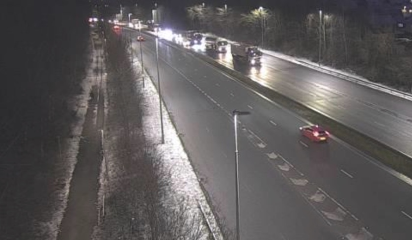
Traffic cameras show a dusting on grass verges on lower ground in the county, and slightly heavier snow appears to have fallen on higher ground.
No main roads appear to be impacted however there is a risk of ice on untreated roads.
Weather warnings for snow and ice remain in place with temperatures set to plummet by the middle of the week.
The yellow Met Office alert is in place across Flintshire North Wales until midday on Wednesday 17 January.
A second warning is also in place between midnight and 11:59pm on Thursday 18.
The UK is now in the grip of a cold plunge of Arctic air which has moved in from the north across the whole of the country.
The northerly airflow is also bringing very cold conditions for all, with snow showers for some areas at times.
Met Office Chief Meteorologist, Andy Page, said: “Where and how much snow we will get will vary throughout the week and weather warnings could change quickly, you will need to keep an eye on the forecast for your region for the latest information.
“There will be widespread frost this week and we could see some fairly deep laying snow in parts of northern UK and strong winds could result in drifting or blizzard conditions at times. The snow and ice will be disruptive and could potentially impact travel plans, make driving dangerous and pavements slippery.
“It will feel bitterly cold with daytime temperatures in the low single figures for many, and overnight temperatures will fall to -3 or -4 in many towns and cities, and it will be even colder in many rural areas.”
As we move into mid-week a low-pressure system will move across the northern France bringing some snowfall on its northern edge. Met Office Deputy Chief Meteorologist, Nick Silkstone, said: “The track of this system still has some small but all-important uncertainties tied to its northern extent, and it has the potential to bring some snow to southern England.
“However, our preferred solution suggests minimal snowfall (a couple of cm at most) across parts of the extreme south of England in association with this system, but we are keeping an eye on how things develop and will update the forecast as needed.”
Latest News